
Bussines Core
Download Company Profile
We Deliver Reliable Geological Engineering Solutions
At LithoTerra Geoservices, we are committed to providing precise, field-proven geological and geotechnical engineering services for mining, infrastructure, and environmental projects.
Our services cover a wide range of subsurface investigations, hazard assessments, and site development support to ensure safe, efficient, and sustainable operations.
Our Services
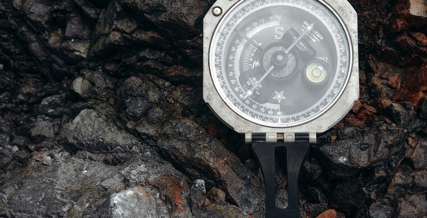
- Field geological mapping
- Petrographic (microscopic) analysis
- Geophysical exploration (seismic, magnetic, gravity)
- 3D geological modeling and resource estimation
- Geochemical and mineralogical analysis
- Core drilling and rock sampling
- Mapping hazard-prone zones (GIS & remote sensing)
2D ERT Survey Service
Layanan Pemetaan & Studi Geologi 2D ERT Survey Service Free Site Assesment Kami dengan senang hati membantu anda dalam proyek berbasis geologi Telp (62) 819-5954-3306 Email contact@lithoterra.co.id Download Brochure Save The Image Pengenalan 2D ERT Survey 2D ERT Survey atau Survey Geolistrik adalah metode geofisika non-destruktif untuk memetakan resistivitas (tahanan listrik) lapisan bawah permukaan. Dengan […]