Business Core
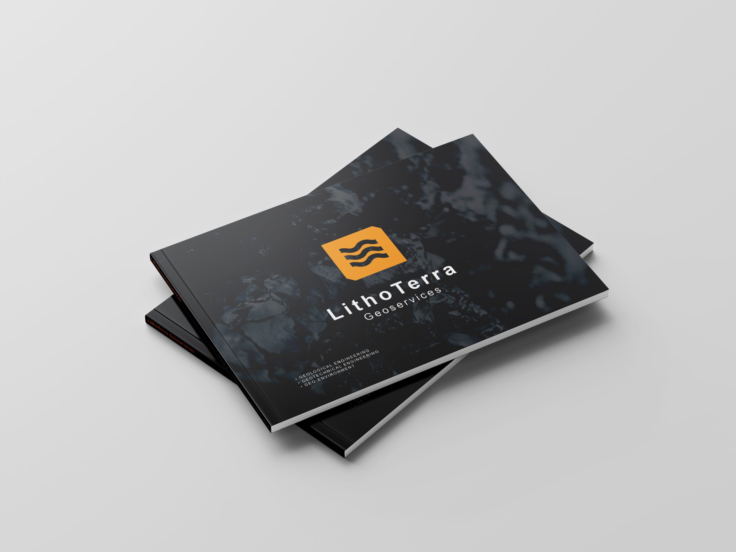
Download Company Profile
Lithoterra Geoservices provides professional geological mapping services for mining, infrastructure, and hazard mitigation projects throughout Indonesia. With experienced licensed geologists and advanced survey technology, our geological survey services guarantee accurate, reliable, and fast results.
Our services cover detailed geological mapping, structural geology mapping, and the production of GIS-based geological maps. All mapping results are compiled into comprehensive technical reports, supporting client projects and compliance with government regulations.
Our geological mapping price is competitive and flexible based on project area, field conditions, and additional service needs. Get accurate and reliable mapping data with Lithoterra Geoservices.
Service Coverage:
- Desk Study & Secondary Data Analysis
- Field Survey & Lithological Data Collection
- Structural Geological Mapping (Faults, Folds, Fractures, etc.)
- Operational-Scale Geological Map Production
- Geological Hazard Analysis (Landslides, Earthquakes, etc.)
- GIS-Based Data Integration
- Comprehensive Technical Reporting
Geological Mapping Service Rates
- Tenaga Geologi Berpengalaman
- Teknologi Survey Terbaru (GPS Geodetik, Drone Mapping, GIS)
- Laporan Cepat, Akurat, dan Berstandar Nasional
- Bebas Konsultasi Teknis sebelum dan sesudah proyek
Geological Mapping Service Rates
| Service Type | Unit | Price (IDR) |
|---|---|---|
| Detailed Geological Mapping (1:5,000 – 1:10,000) | per Ha | Rp 250,000 – 400,000 |
| Regional Geological Mapping (1:25,000 – 1:50,000) | per Km² | Rp 500,000 – 750,000 |
| Structural & Geotechnical Survey (Additional) | per point | Rp 200,000 |
| Digital Geological Map (GIS Format) | per set | Rp 2,500,000 – 5,000,000 |
| Technical Report + Recommendations | per document | Rp 3,500,000 – 7,500,000 |
Prices are subject to project location, terrain conditions, number of observation points, and additional requests (e.g. drone mapping, rock sampling, or laboratory analysis).


