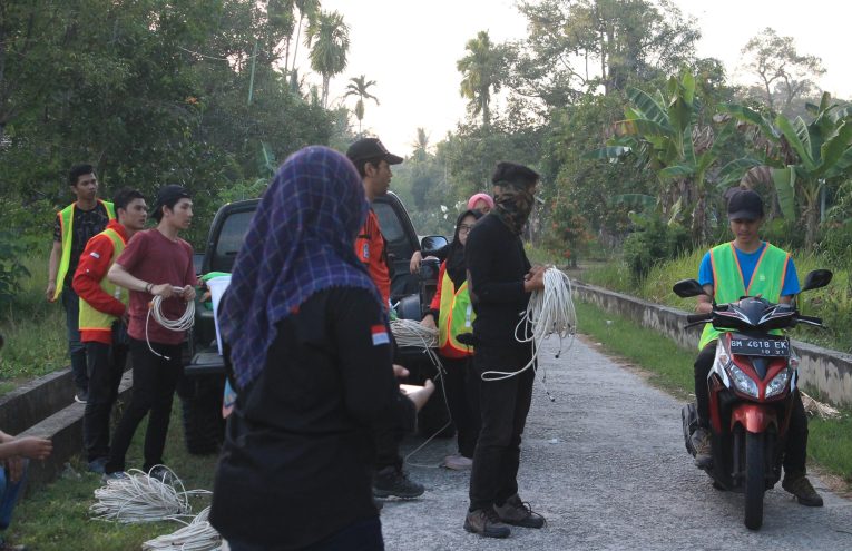
2D Electrical Resistivity Tomography (ERT) is a non-destructive geophysical method used to map subsurface resistivity variations. By deploying a linear array of electrodes along a survey line, it produces high-resolution resistivity cross-sections — without the need for preliminary drilling.
Why Us?
2D ERT data Acquistion & Processing
Inversion modelling (available in 2D & 3D)
Detailed technical report & interpretation
Coverage up to 400m / line with multi-array configuration