(Electrical Resistivity Tomography)Field Team Available On-Request.2D ert survey service get quote get quote Field Team Available On-Request.Topographic
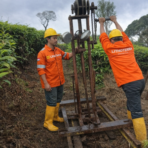
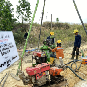
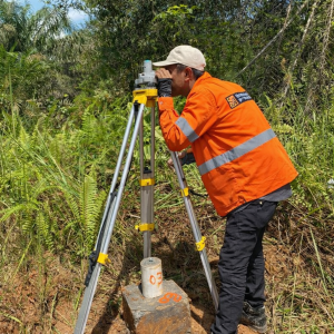
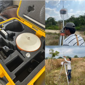
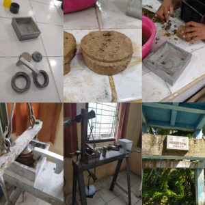
Survey get quote get quote Geotechnical ServicesSoil test & investigations Get quote Get quote
About us.
Reliable Data, Real Solutions.
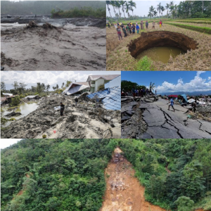
LithoTerra Geoservices is a company engaged in geological, geotechnical, and geo-environmental consulting. With an experienced professional team and high-standard equipment, we are committed to providing mapping services, geological, and environmental studies to support strategic projects in oil & gas construction, mining, disaster mitigation, environmental management, and water resources sectors.
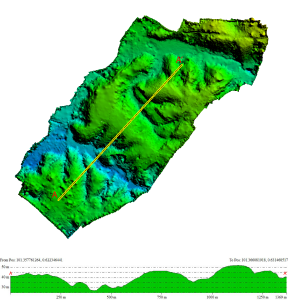
Aerial-based spatial data acquisition to capture site conditions quickly and comprehensively, producing visuals and models ready for use in project planning.
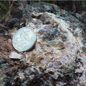
Identification of mineral and coal potential through geological studies and field investigations to support resource valuation and feasibility assessment.
We never compromise on data accuracy and site safety. Our investigations prioritize precision, minimizing risks and ensuring long-term project reliability.
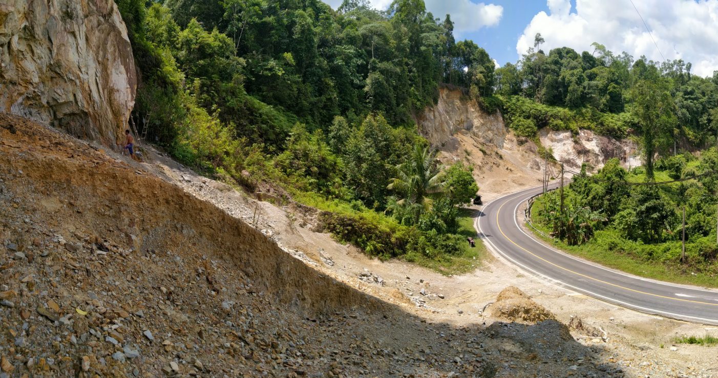
From geological mapping to geohazard risk assessment, we deliver dependable results that earn the trust of clients, authorities, and local communities.